We can’t send you updates from Justia Onward without your email.
Unsubscribe at any time.
Hi Friends, Google added satellite images to their Google Maps. Now you can see where you are going from above, anywhere from a Space Shuttle View to a Helicopter view. Personally I find the Amazon...
Hi Friends,
Google added satellite images to their Google Maps. Now you can see where you are going from above, anywhere from a Space Shuttle View to a Helicopter view. Personally I find the Amazon A9 street view more useful, but the space-sky view is pretty neat. All of this work is about getting into the local advertising – online yellow pages market.
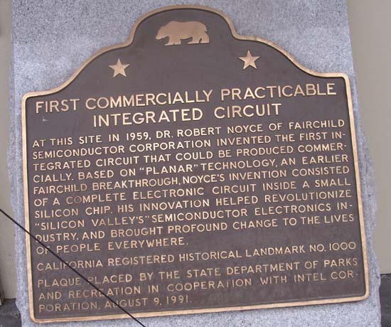
My puppy, Sheba the Hug Pug, and I took walking trip to see where the first commercially viable integrated circuit was invented by Bob Noyce and his team at Fairchild Semiconductor. But before we took our walk, we decided we would like to see what the building looked like… from above (an especially kewl view point for a Pug :).
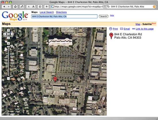
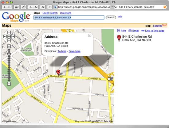
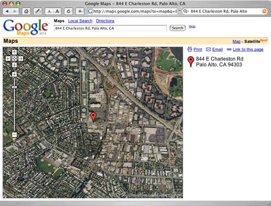
Here is what 844 E. Charleston Rd. looks like from above on Google Maps.
You basically enter the address in Google Maps, and get the basic map…then…
Click on the Satellite link, which shows you the same map as a photo from… space….
… and then you zoom in to the helicopter view.
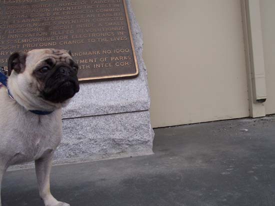
But you need a Pug, like Sheba the Hug Pug, to see the Pug View of the building (be sure to visit her blog at HugPug.com).
And here is the plaque at the site. The space in this building is currently open, so maybe Justia will move in someday 🙂
It would be great if Google added drive by street level photos like Amazon’s A9, although that is not quite as scaleable as taking pictures from space.
And visit the Noyce Foundation which helps young students in grades K-12.
Peace – Tim

